Real-Time Guidance | TROPICAL STORM DARBY (EP05)
Real-time Guidance for TROPICAL STORM DARBY (EP05)
This page provides plots and information for TROPICAL STORM DARBY (EP05). The left side of this page provides TCGP-generated plots of numerical guidance and other TCGP-curated data. The right side of this page provides external links to additional information and products. Most of the model guidance displayed in the plots come from modeling centers outside of NCAR, such as NOAA, other national numerical weather prediction centers, and universities. Click here for information about who contributes to TCGP. Your use of this page is governed by the UCAR Terms of Service and this site's disclaimer. To obtain help for any item on this page, click on the question mark beside that item.
Information as of the most recent model cycle ?
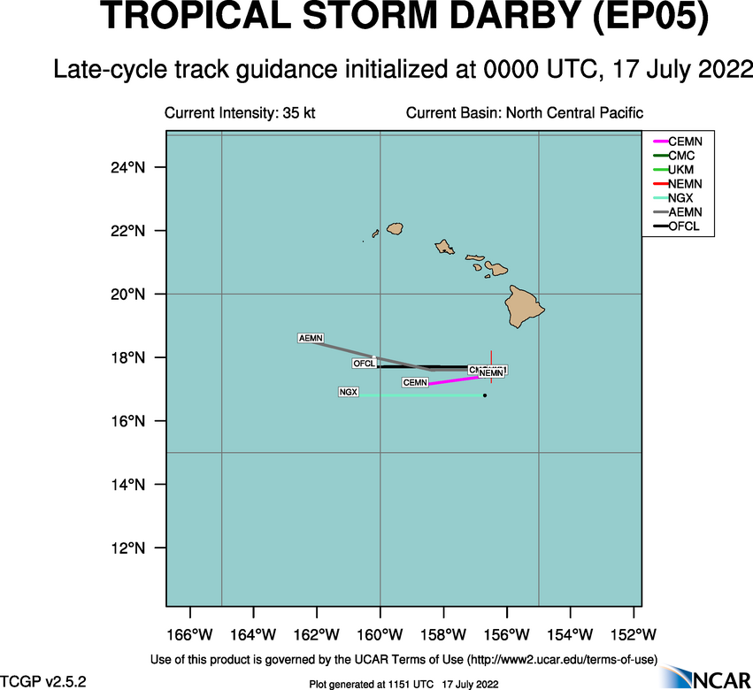
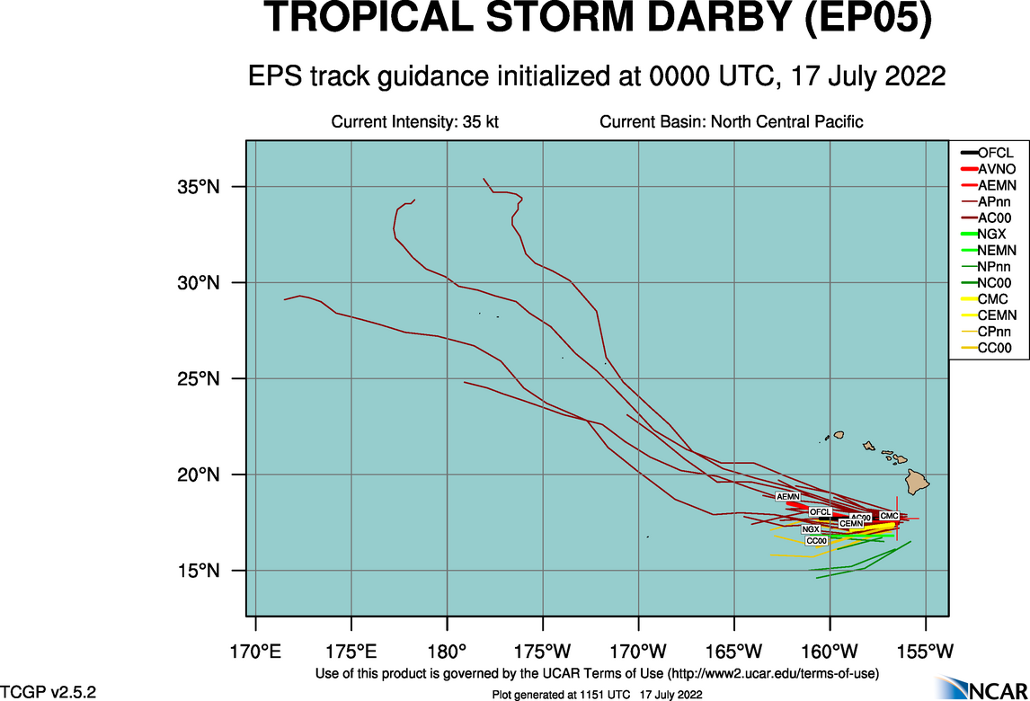
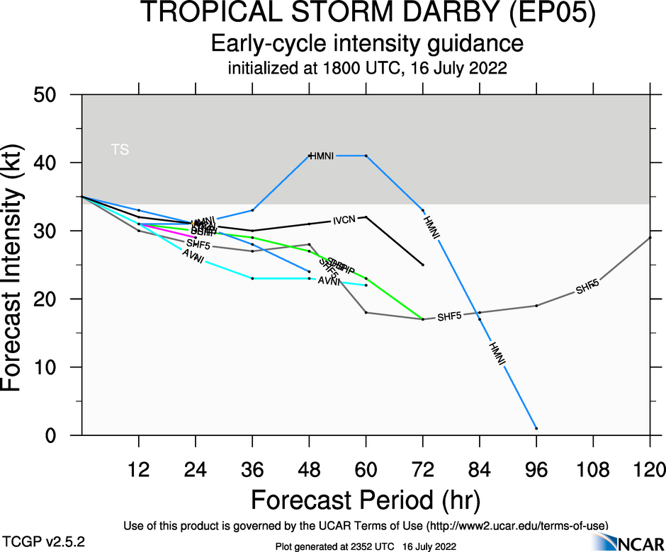
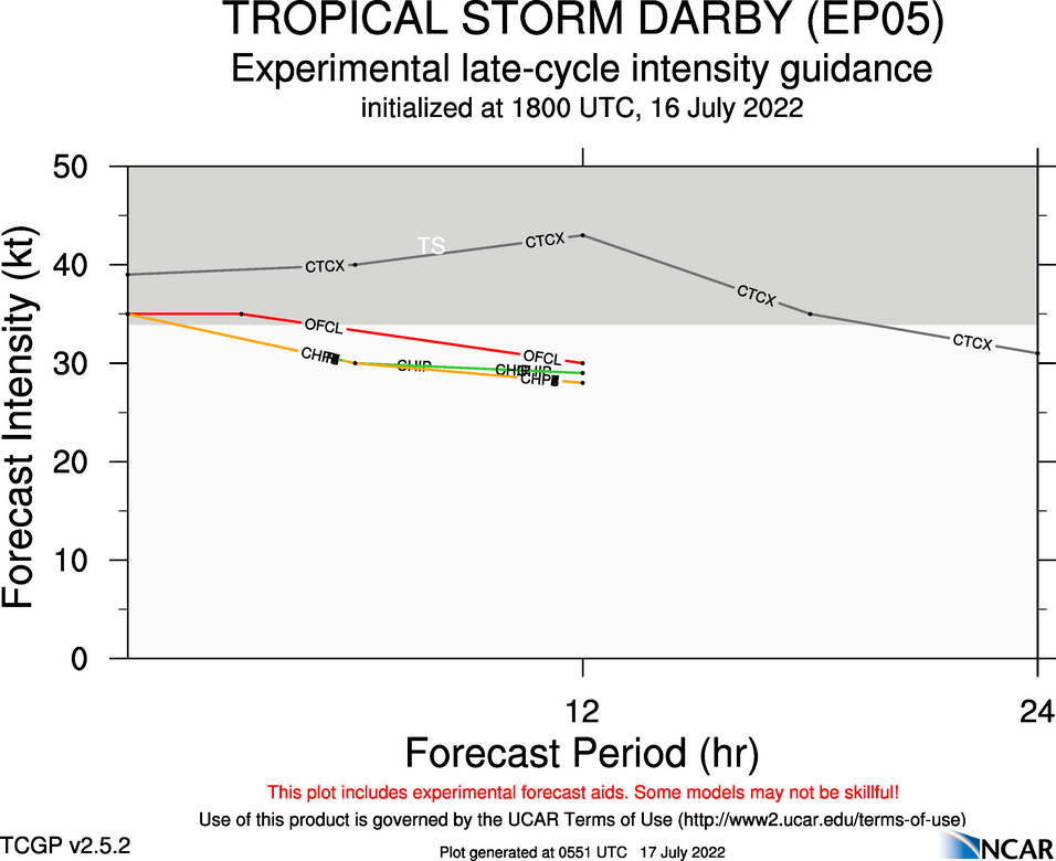
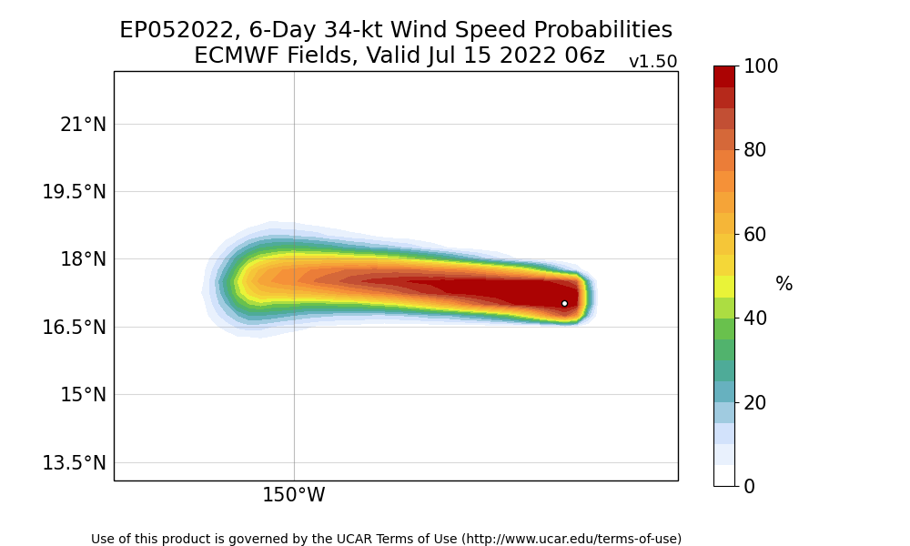
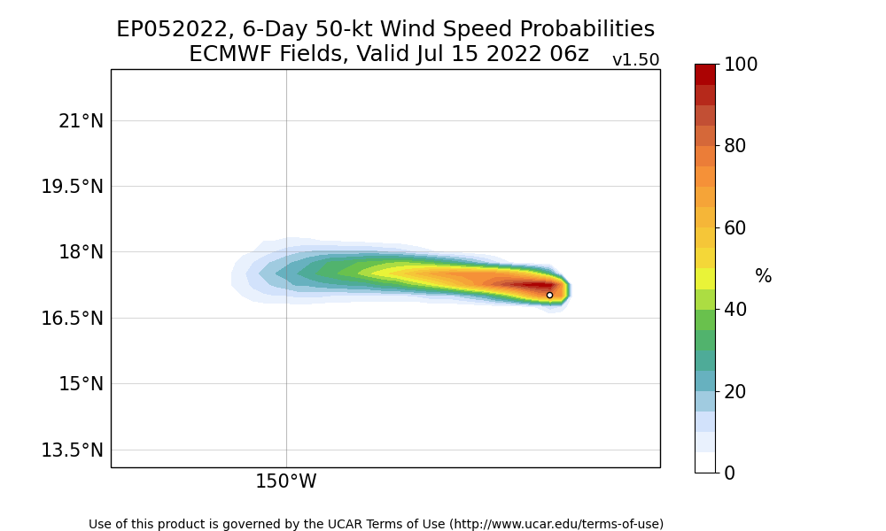
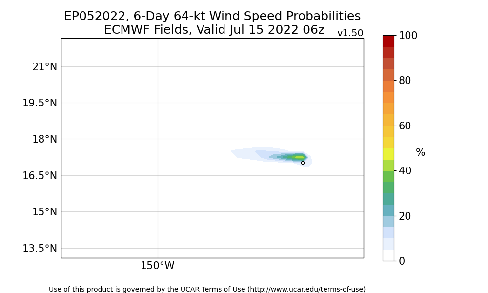
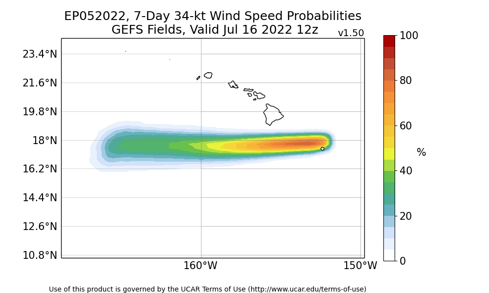
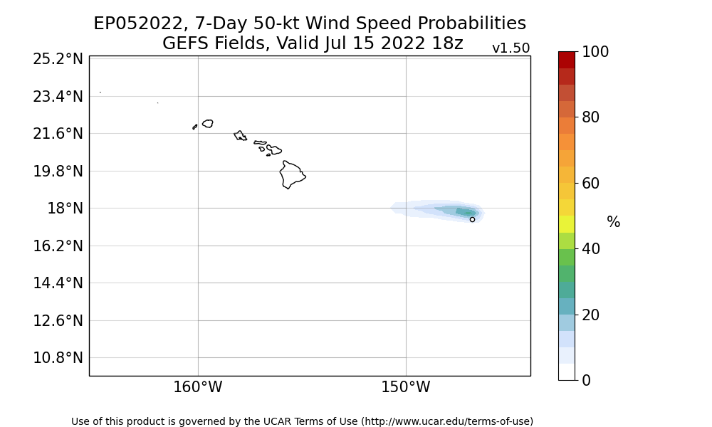
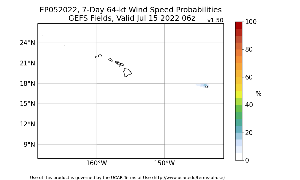
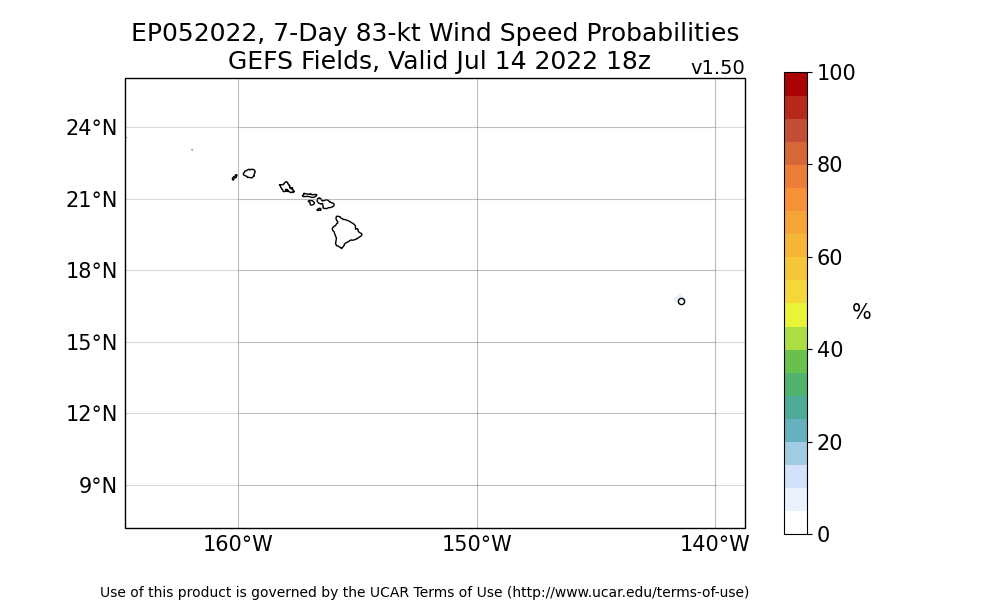
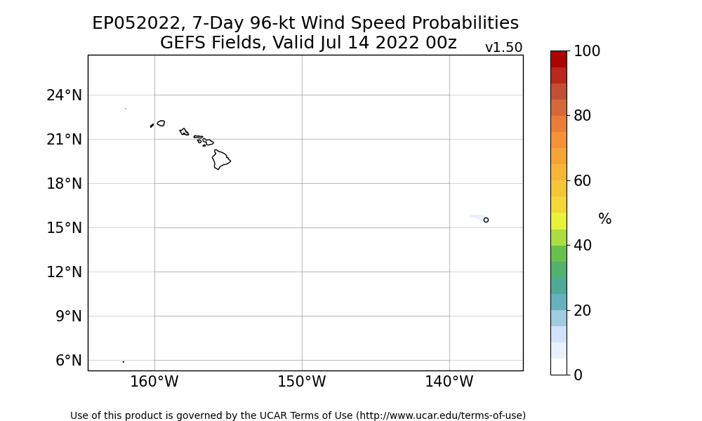
At 0000 UTC, 17 July 2022, TROPICAL STORM DARBY (EP05) was located in the North Central Pacific basin at 17.7°N and 156.5°W. The current intensity was 35 kt and the center was moving at 20 kt at a bearing of 270 degrees. The minimum central pressure was 1007 mb.